
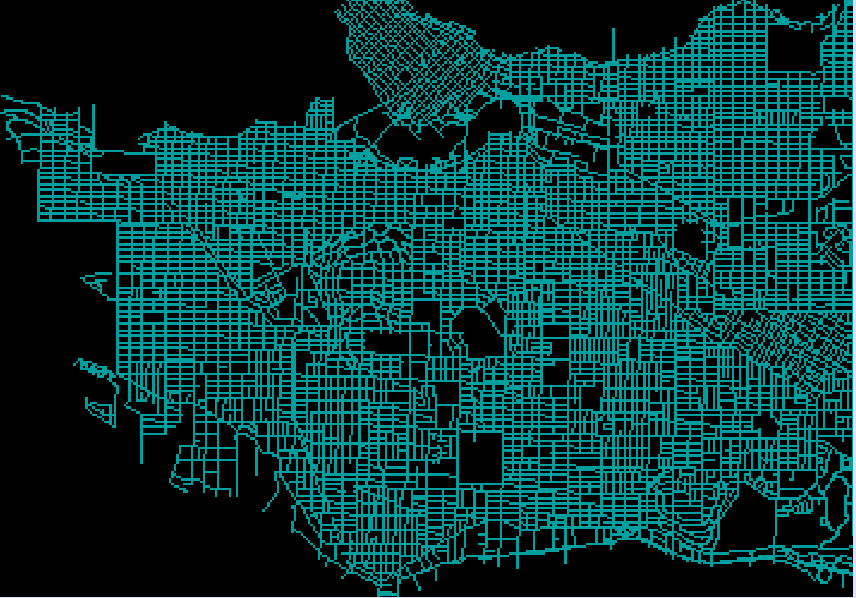
For GEOG 355 (GIS II) we were tasked with creating a blog about our final project. The purpose of the project is to determine the suitability of building a new daycare facility in Vancouver, British Columbia, Canada. The method used to achieve this was Boolean Multi-Criteria Analysis, where several factor maps are overplayed to determine suitable areas. These types of analyses are useful for combining many specific criteria to get a determined “Yes” or “No” on whether an area is suitable or not.
The primary softwares used for this project were:
- IDRISI TerrSet Geospatial Monitoring and Modeling Software
- ESRI ArcMap 10.6
The data processing and analysis was primarily based in the Raster spatial data format, but some vector processing and conversion was used in the ArcGIS environment.
To view the entire project, please see the website.
